Home / Virtual Museum / Maps
Maps of the Broads
The first maps that still exist are Enclosure maps. They date from the late-eighteenth century to the mid-nineteenth century and may often provide the earliest detailed survey of a parish.
Detailed surveys of rural Norfolk were created in the tithe maps which were drawn up in Norfolk between 1836 and 1850.
The Ordnance Survey first surveyed Norfolk between 1879 and 1886 at the six-inch to the mile. These maps are still produced today.
The Museum’s collections of maps include those produced by the Ordnance Survey and those produced for holiday makers. Some show the whole Broads landscape, others focus on the roads, railways and waterways, and one, produced by Lacon’s in the 1950s, shows the brewery’s pubs in the Broads area!
For more information view the historic maps page on Norfolk County Council’s website.
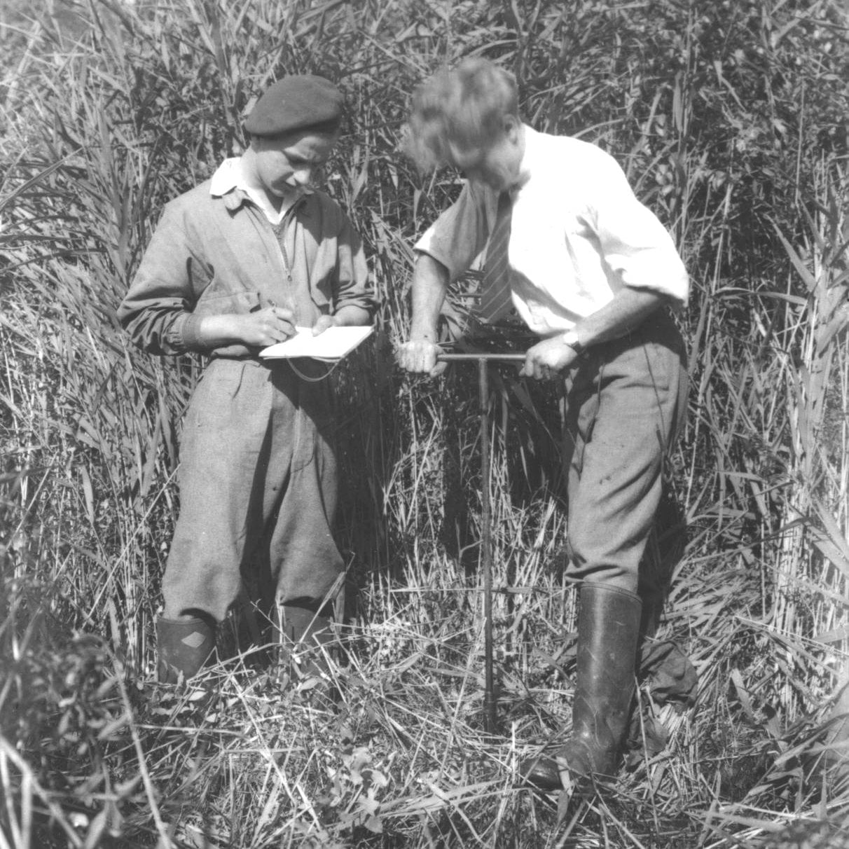
Joyce Lambert


